Illal and Spiral: Who Knew There was a Trail?
At 10pm on Friday evening we were still trying to figure out what to do on the weekend. After scanning various maps and trip reports, I somehow recalled a trip we did five years ago to Jim Kelly and Coquihalla Mountain, a beautiful and under-appreciated area up the Coquihalla Highway, about a 2.5 hour drive from Vancouver. After a quick call to Pascale and Ignacio, we finished packing and headed to bed for a few hours of sleep.
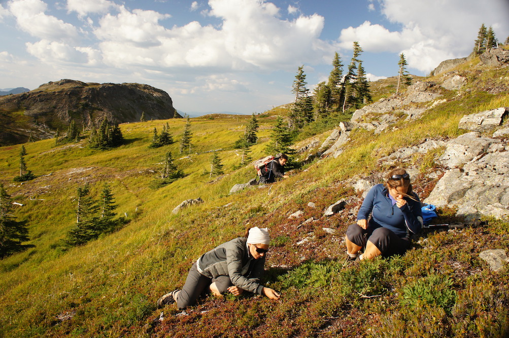
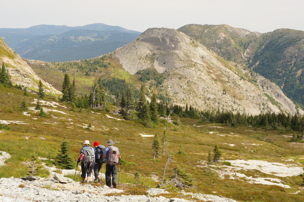
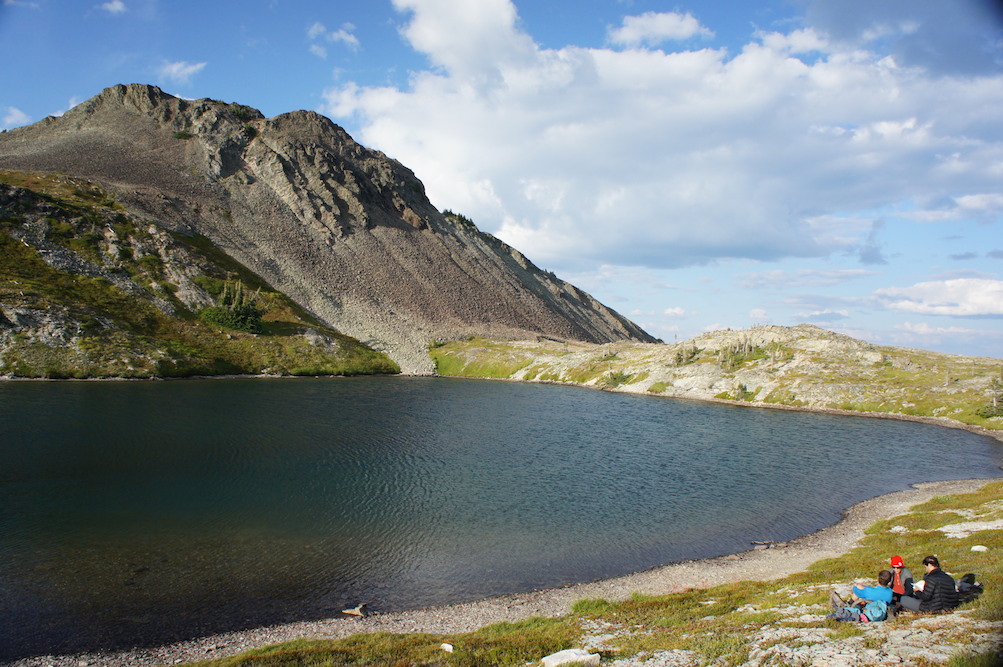
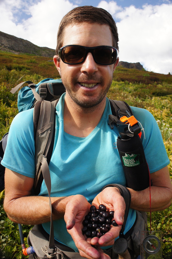
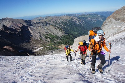
After a 20km drive on a smooth gravel road, we reached the trailhead for regular cars. It took us a few hours of relaxed hiking to reach the sub alpine meadows, with views of Jim Kelly and Illal Peak. On our previous trip we had camped by a beautiful lake next to Jim Kelly, so this time we headed towards the larger lake located below Illal Peak. On the way we were slowed down to a crawl by the many blueberries and huckleberries. On the drive in Maya was a bit worried that we didn’t have enough snacks, but it turned out that nature provided us with more than enough fresh and healthy snacks.
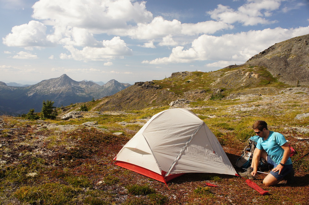
We set up our tents below Illal Peak, in a spot with views of Coquihalla Mountain and the back of Needle Peak, which we have been up several times. Just past our tents we found a very good trail which we followed towards Illal Peak, and then left it to easily scramble up the flanks of Illal Peak to the summit. We didn’t think too much about where that trail went, but as it later turned out, we should have… We spent some time relaxing at the top of Illal Peak, and headed back to camp to play some cards and have a chilly dinner – a cold wind was blowing.
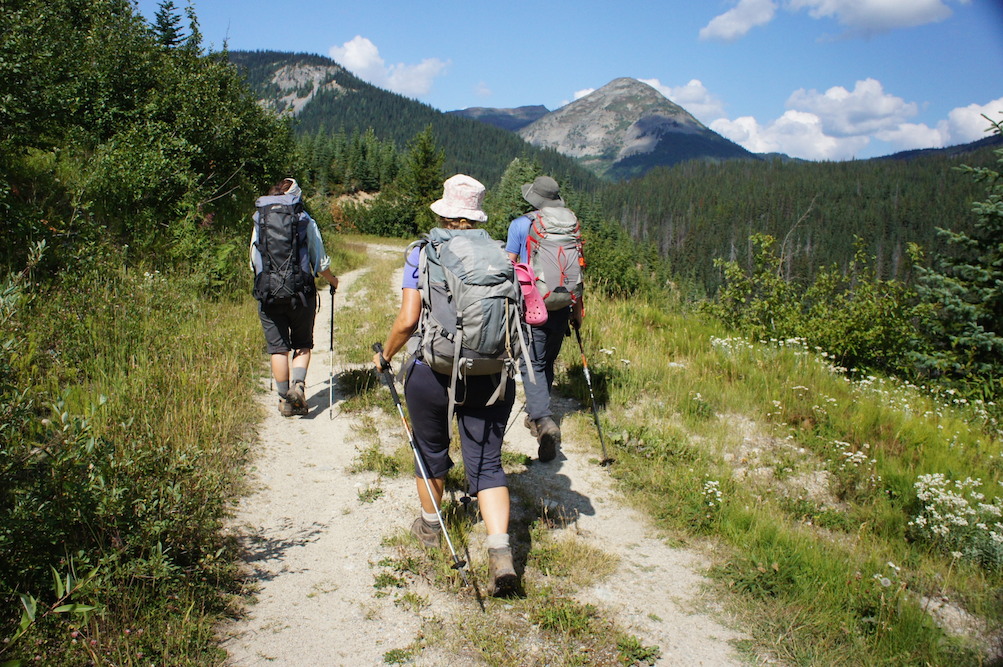
The next day we slept in, packed our backpacks and took the good trail we had found in the opposite direction, towards the small and picturesque lake below Jim Kelly Peak. Pascale and I had a refreshing swim (one of us was naked, guess who…?), and of course we gorged on some more blueberries. Then we took a cross country route towards the ridge leading to Spiral Peak, which involved quite a bit of uncomfortable side hilling. When we finally crested the ridge, of course we found a trail there… It was the continuation of the trail we had seen the day before, which goes around Illal Peak. Oh well.
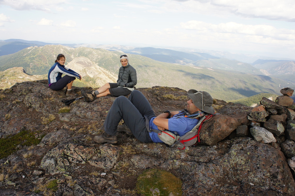
Hiking along the ridge towards Spiral Peak was beautiful and easy and Ignacio even spotted a black bear, which he tactfully scared away before anyone else could confirm its existence. The final slopes leading up to Spiral Peak were steep and very loose, and we set off a few small rock avalanches (which didn’t go too far). We spent a few minutes on the summit, looking around and inspecting some interesting stunted trees.
Once we got back down to the ridge, we decided to take a cross country route to meet the trail lower down. This involved first easy open hiking, then hiking through knee high bushes and finally some full on bushwhacking. It took longer and a much bigger effort than any of had assumed, so I would say the trail going around the back of Illal Peak would definitely be the better option. We were relieved to finally reach the trail. From there it was an easy hike down back to the car, where we all proclaimed we were very much ready for some dinner, and had a pretty mediocre one at the Husky Diner in Hope (seems like even the Home restaurant might be a better choice?). We got home late and climbed into bed…

2 Comments
Peta Kaplan
Yum. Wild blueberries and huckleberries. Love the photo of you Gili with lips tainted blue from consumption. Yeah!
Gili
Yes, that’s my kind of consumption…